Street-by-street maps to reveal where England’s poorest communities face worst environmental risks

John E. Kaye
- Published
- News, Sustainability

Environment Agency and Natural England launch official tools showing where heat, flooding, pollution, noise and lack of green space overlap with deprivation and ill health
England’s poorest communities facing the heaviest burden from heat, flooding, air pollution and lack of green space will be identified street by street under new official mapping tools launched today.
The Environment Agency and Natural England said the tools would show where environmental risks overlap with deprivation and poor health, giving councils and public bodies clearer evidence on where to target spending, planning decisions and public health action.
The maps, launched at the start of London Climate Week, are designed to help identify neighbourhoods where climate and environmental pressures are compounding existing social inequality.
Officials said the data could help prioritise measures such as urban greening, housing retrofit, heat-resilient design standards and targeted public health responses in the areas most exposed to overlapping risks.
John Leyland, executive director of environment and business at the Environment Agency, said: “Protecting communities from environmental pressures is central to our work at the Environment Agency, but we know that some communities face greater pressures than others.
“That’s why we have developed these tools which provide for the first time a clear picture of environmental pressures across England – so that we can direct our resources where they’re needed most by the communities we serve.”
David Drake, director for people and nature at Natural England, said the organisation’s work on green infrastructure, spatial data and nature-based solutions had helped shape the design of the tools.
He said: “Decision-makers now have something they haven’t had before: a consistent, high-resolution evidence base covering the whole of England that can tell us, at a glance, where environmental disadvantage is greatest so that we can take action.”
The Index of Multiple Environmental Deprivation, known as IMED, maps cumulative environmental pressures across England, including climate risks, air quality, flood risk, noise and access to green space.
The Environmental Equity Index, or EEI, adds socio-economic and health indicators to show where those pressures combine with wider deprivation and poorer health outcomes.
Used together, the tools are intended to show where communities face the greatest combined burden and help local authorities, government departments, integrated care boards, planning bodies, NGOs, consultancies and researchers take more targeted action.
Mike Childs, head of science, policy and research at Friends of the Earth, said the launch marked a significant step towards improving environmental information and justice.
He said: “We’ve known for a long time that some communities are disproportionately affected by environmental harm and exposed on multiple fronts. So today’s launch, which sees these compounding threats tracked officially for the first time, is a significant step towards improving access to information and justice on the environment.”
He added: “With these tools, communities and councils can gain a clear understanding of the main environmental risks locally, as well as which areas need to be prioritised for action.”
READ MORE: Ukraine joins European environment network in major conservation step after war damage to land and wildlife. European Environment Agency says new status will help Kyiv improve monitoring, data and environmental protection as Russia’s invasion damages land, water, air quality and protected areas.
Do you have news to share or expertise to contribute? The European welcomes insights from business leaders and sector specialists. Get in touch with our editorial team to find out more.
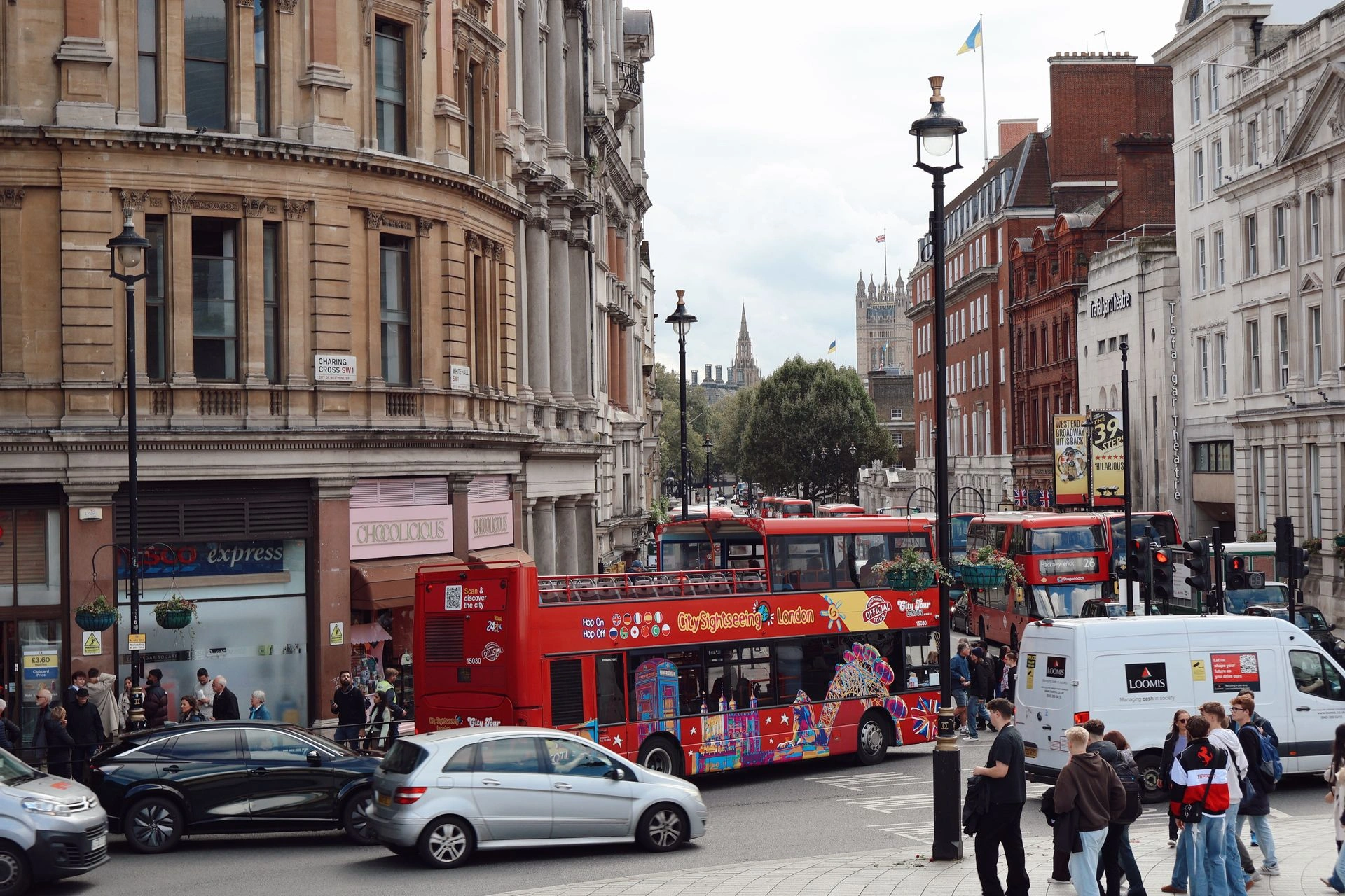
Main image: Mike Bird via Pexels
TOP STORIES
-
 British buyers fuel Greek luxury property boom after non-dom tax change
 -
 New York named world’s most attractive city for tourists
 -
Saab lands German frigate deal after Poland submarine order
-
Students unveil world’s first solar-powered ambulance
-
Burnham told to tackle Britain’s cyber weak spots on day one
-
Doctors using AI before health systems set the rules
-
Humanoid robots could become the next K-pop stars
-
Hormuz flashpoint keeps global shipping on high alert
-
Scientists to gather in Lisbon to tackle next pandemic threats
-
Burnham warned digital exclusion is now a national security risk
-
Masts from Kent ‘doomsday wreck’ to be cut to prevent catastrophic explosion
-
GigaCloud and Cubbit launch sovereign cloud storage for Ukraine and Poland
-
Tributes paid to ‘forthright and fearless’ Ann Widdecombe
-
Boeing to debut Ghost Bat drone at Farnborough Airshow
-
Reeves opens ‘£2bn lifeline’ for small firms
-
Babymoon boom: Rhodes crowned 2026's top pre-baby escape as Salcombe leads UK getaway list
-
Xavier Niel to become Vodafone’s largest shareholder in £4.4bn deal
-
Two-thirds of lawyers say strong legal claims are dropped because of cost
-
UK government must "think again" about small business plan
-
Lockheed Martin pushes European missile expansion at NATO summit
-
Britain's new homes face 2050s heat test as experts warn of overheating crisis
-
Sky agrees £1.6bn deal to buy ITV’s broadcasting and streaming arm
-
Scientists crack dinosaur egg mystery by building life-size nest
-
Nobel laureate Omar Yaghi launches global science network
-
Cardiff drivers safest in Britain as London comes last